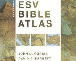
Crossway ESV Bible Atlas
John D. Currid and David P. Barrett
Crossway, 2010, 352 pp., $49.99
Nelson’s Complete Book of Bible Maps and Charts
Thomas Nelson Publishers
Thomas Nelson, 2010, 512 pp., $19.99
It’s often said that you cannon grasp the fullness of Scripture aparat from understanding the land in which the narrative takes place. Here are some of the latest resources that aim to help.
The ESV Bible Atlas takes a rigourous trek through the lands of the Bible. Archeologists masterfully tell the tale in eras, illustrating generously with artifacts, modern photos, beautiful diagrams (many of which readers of the acclaimed ESV Study Bible will recorgnize) and of course maps. What maps they are! Some favorites are the 3-D Google-Earth-meets-study-Bible maps and the exquisitely detailed regional maps that seem to show every nook of every hill. As if the large format and thick paper weren’t enough, the book includes a CD of searchable copies of its maps.
Thomas Nelson’s Maps and Charts covers little new ground. Its colorful pages give an overview of every book of the Bible, including illustrative maps, book outlines, eye-catching charts, photographs and introductory sections. The charts are intertesting; for example, one contains a chart explaining “How Faith Works.” Visual learners may find this book especially helpful.
For understanding the land of the Bible, the ESV Study Bible is worth the investment. Apart from some unique charts, Nelson’s Maps and Charts contains little content that can’t be found in most study Bibles.


